Case Study — FTC Solar

FTC Solar

Industrial Cinematography for a Leader in Renewable Energy

01 — The Challenge

Smoke and Scale

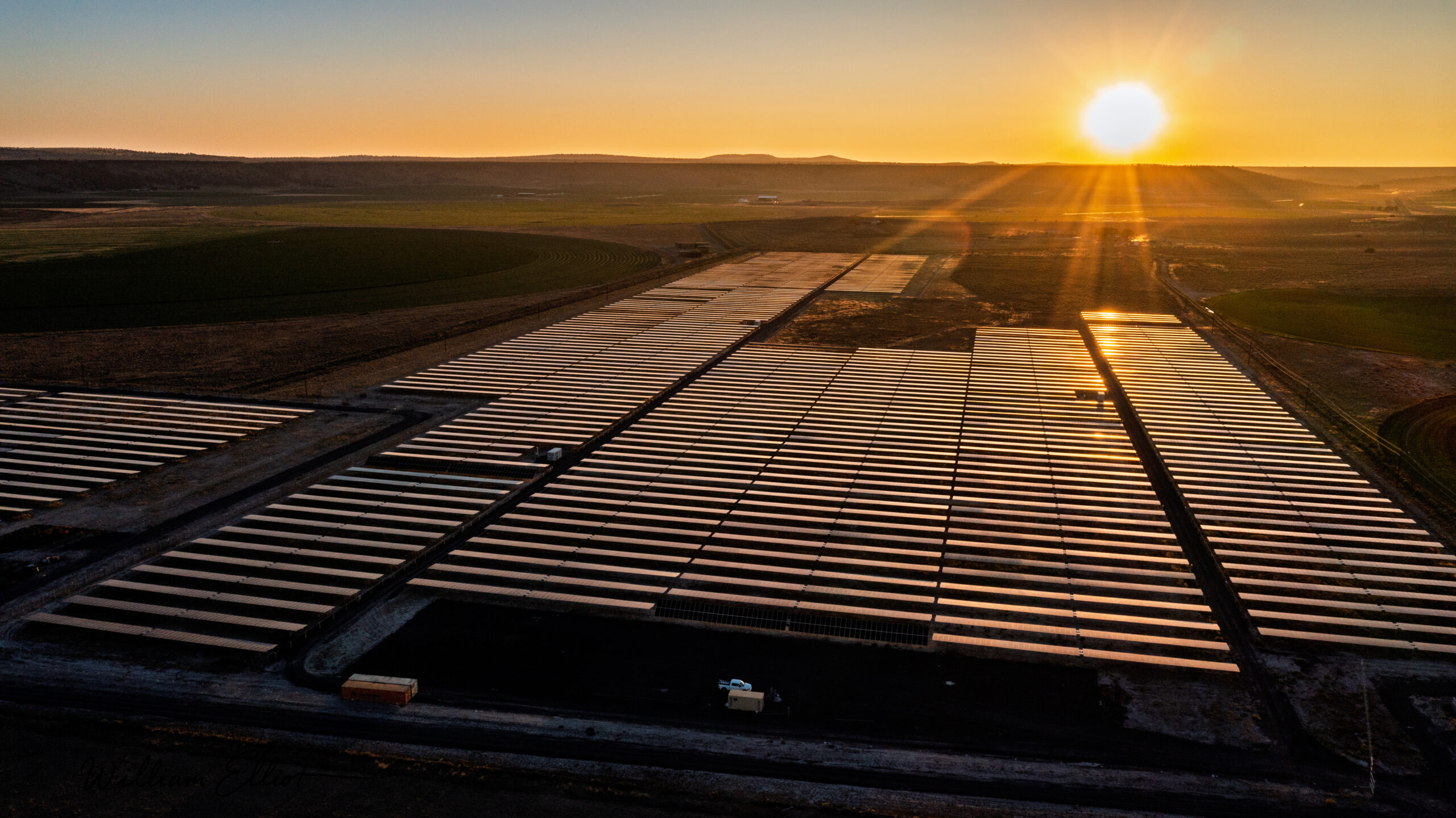
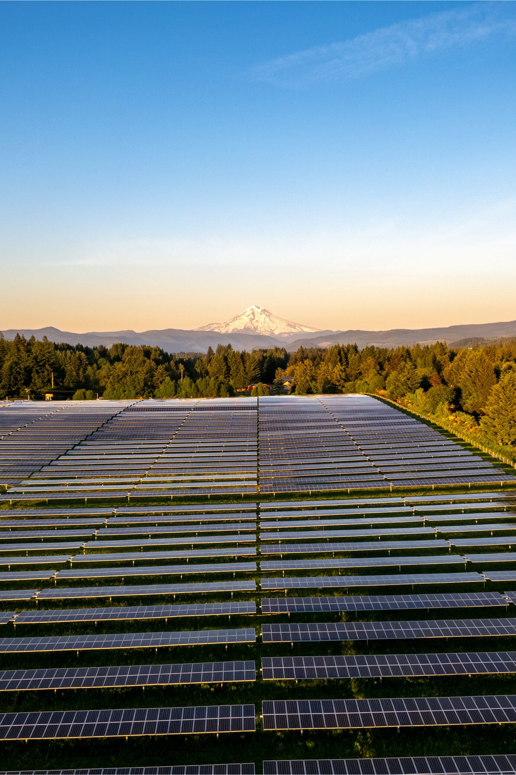
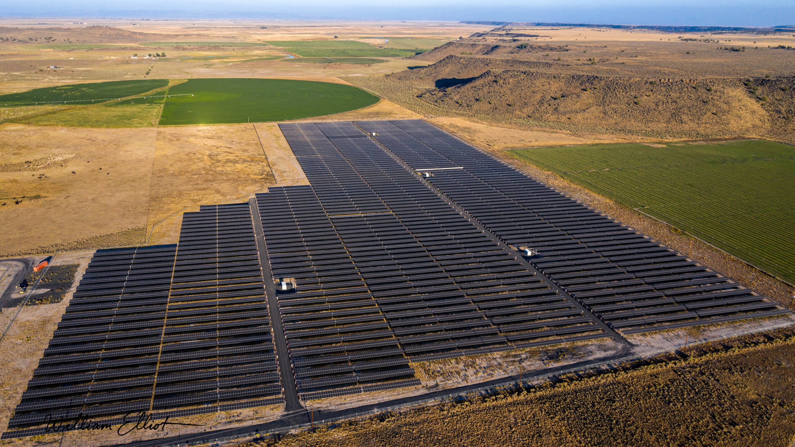
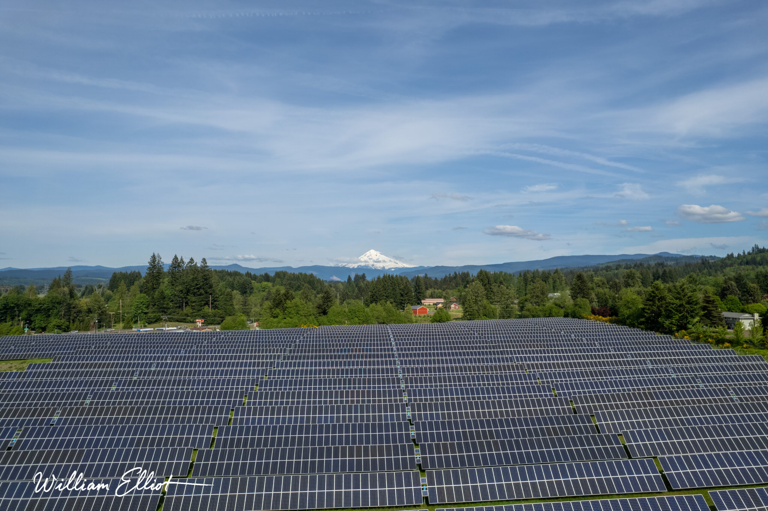
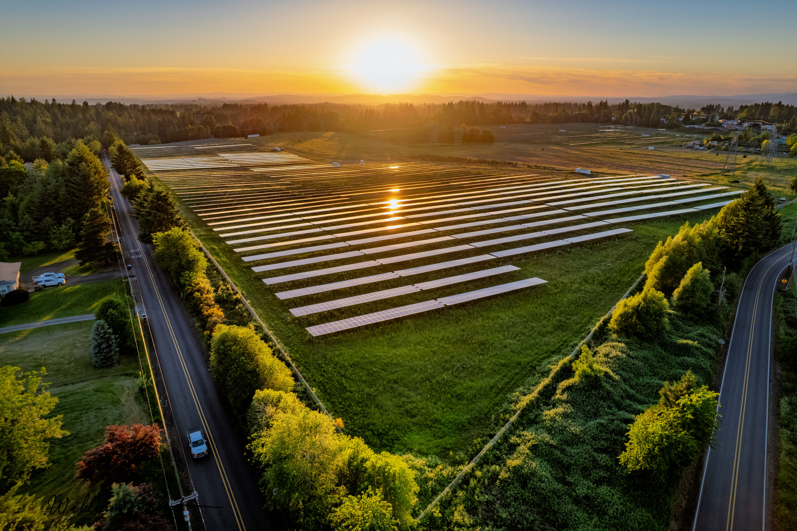
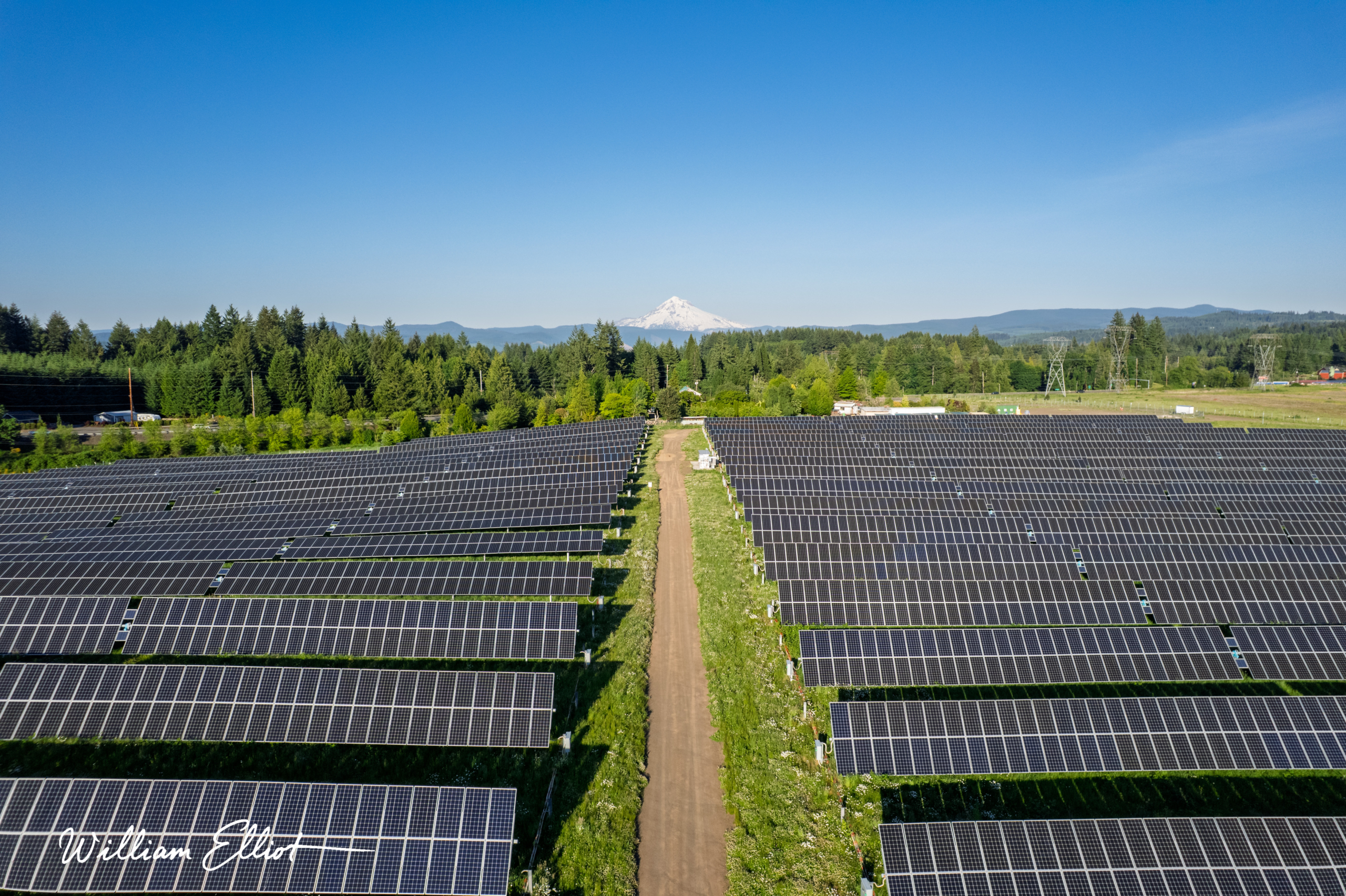
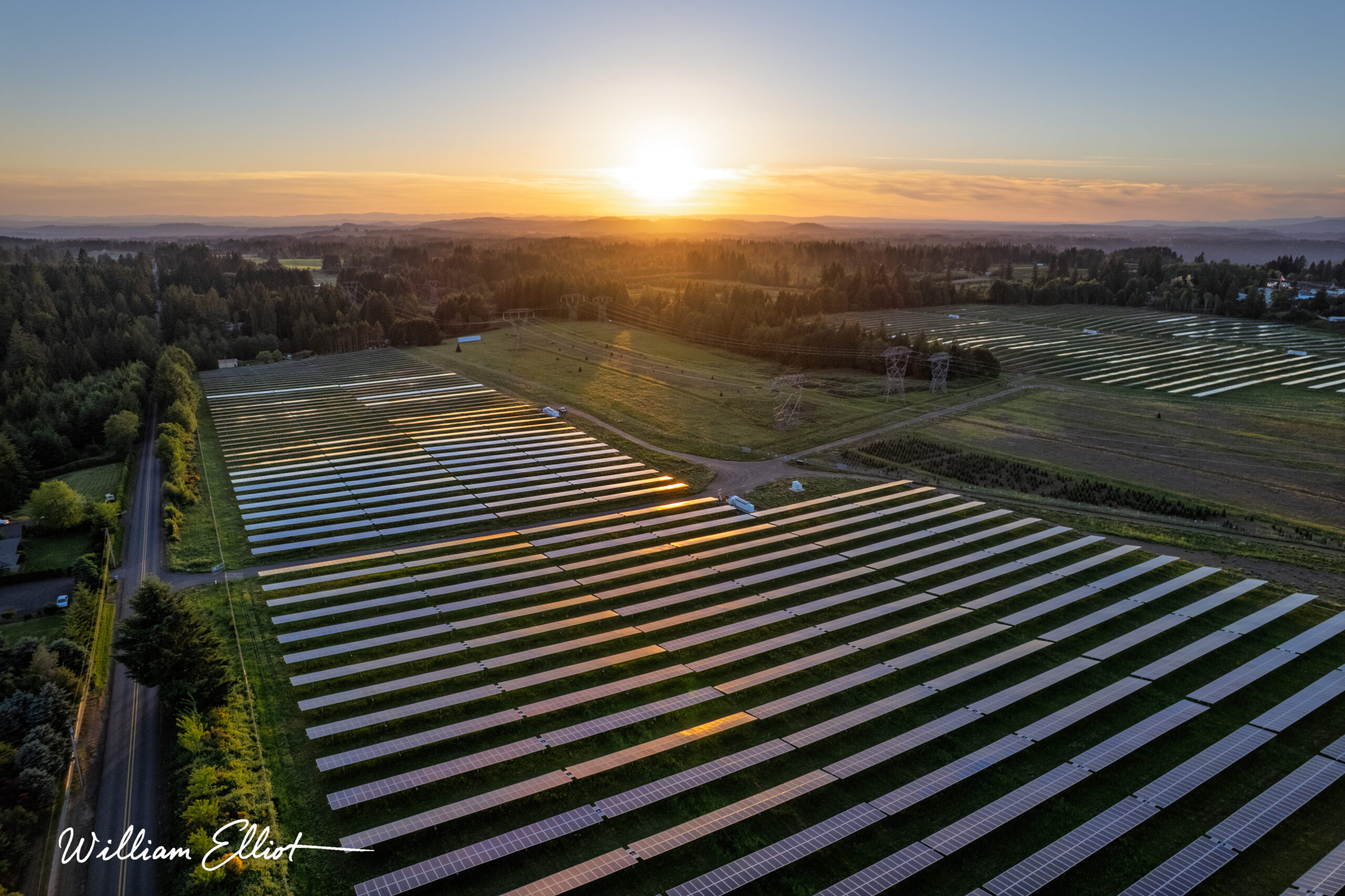
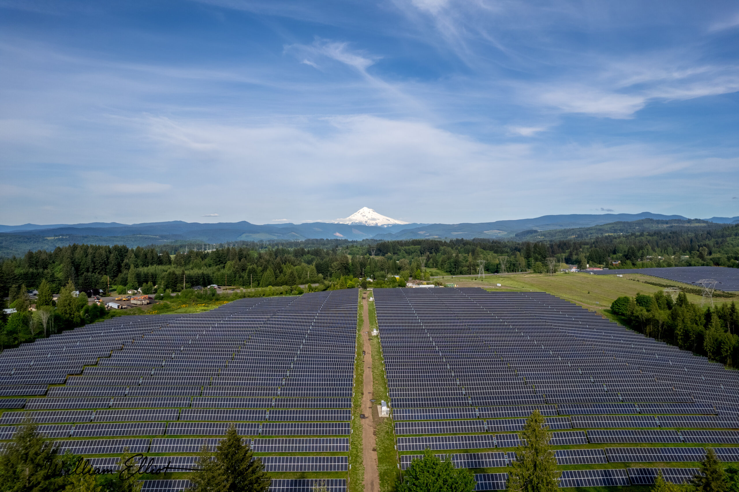
FTC Solar was preparing a national brand launch and a new Voyager product data sheet, and needed a visual record worthy of the engineering behind its utility-scale installations. The work stretched across three solar farms in two regions of Oregon, from the Mt. Hood backdrop of the Clackamas County arrays to a remote high-desert site nearly three hundred miles southeast. Every site demanded range, from acre-spanning aerials to slope-level detail, and all of it under unpredictable Oregon skies thickened by wildfire smoke that could erase a shot's clarity in a single afternoon.

02 — The solution

Reading the Sky

Conditions, not the calendar, would dictate the shoot, so I built the schedule around the weather rather than against it. Atmospheric and smoke forecasting pinpointed the narrow windows when the air would run clear and the light would hold, and a conditions-permitting commitment meant capture proceeded only when the environment allowed the shot. Every flight ran under FAA Part 107 as a two-person team, a pilot and camera operator working alongside a dedicated visual observer, moving site to site across Oregon with a loadout staged for back-to-back aerial and ground capture.

Large-Format Print

HDR Aerial Panoramas

Atmospheric Forecasting

Utility-Scale Coverage

5.2k Aerial Capture

Mapping & Discovery

Advanced Environmental Forecasting

I utilized sophisticated weather and atmospheric monitoring software to analyze conditions and pinpoint precise, narrow windows of opportunity when the air would be clear and the light would be optimal.

A Client-Centric Guarantee

 I offered a flexible, "conditions-permitting" scheduling commitment. This assured the client that I would only conduct the shoot when the environment allowed for the perfect shot, guaranteeing their complete satisfaction with the final assets.

Professional Flight Operations:

Safety and compliance were paramount. I partnered with a commercially certified helicopter pilot who performed a detailed aerial reconnaissance of the site. During the UAV shoots, he served as my on-the-ground, line-of-sight visual observer, ensuring we operated with the utmost safety and full adherence to FAA regulations.

Advanced Post-Production

For the panoramic mural, I performed advanced, pixel-perfect photo compositing and worked directly with the print company to ensure the final, large-format output was flawless. Video assets were professionally color-graded and edited to create dynamic sequences for various marketing and web applications.

03 — The results

The State, Delivered

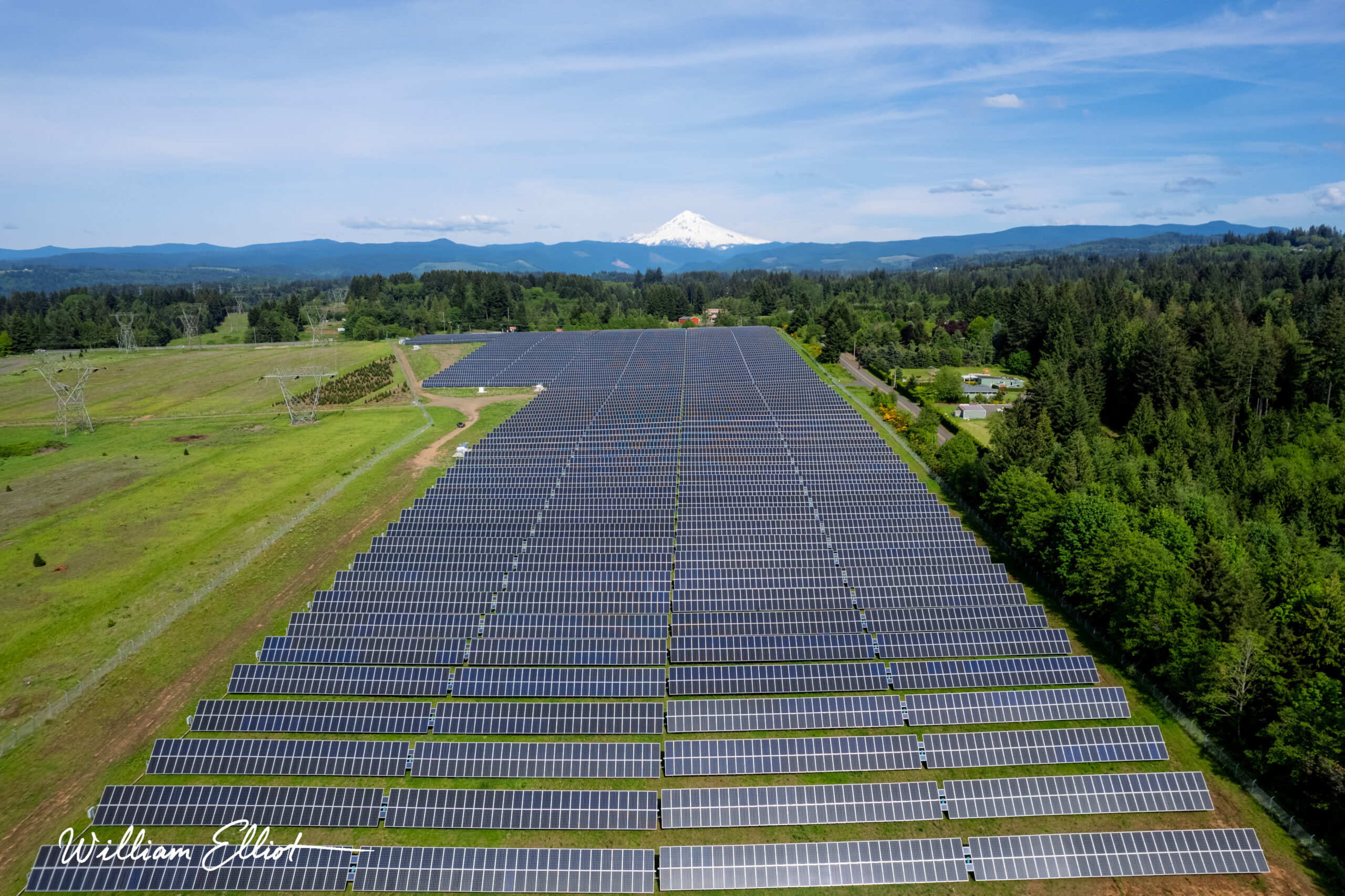
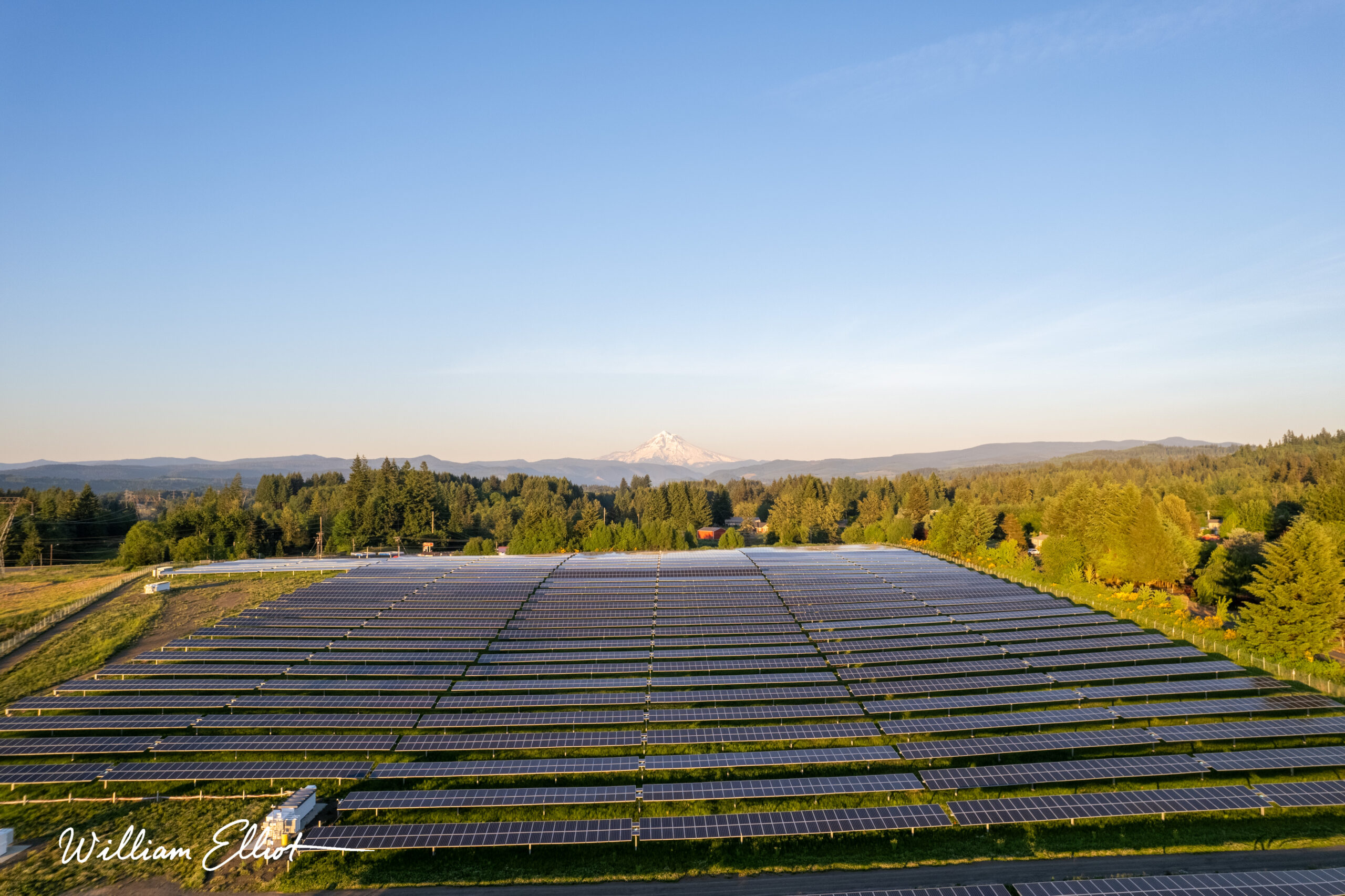
The result is comprehensive, multi-site coverage that the conditions should have made impossible, delivered by a single operator. It spans a flawless nine-by-eighteen-foot panoramic of the Firwood array, now anchoring the company headquarters wall, down to a library of over twelve hundred edited images and nearly two hundred gigabytes of 4K footage. Across five distinct projects and three Oregon sites, the work fed FTC Solar's national brand launch and Voyager Data Sheet with aerials, slope-level studies, a thirty-clip marketing reel, and sweeping HDR panoramas.

2

Production Days

80+

Hi-Res Assets

6

Aerial Sequences

20

HDR Stills

A Brand-Launch Asset Library

Aerial and ground cinematography revealing the full character of the property, including remote and previously unseen areas — a cohesive visual record built for a discerning, international buyer.

A Headquarters Centerpiece

A flawless panoramic composite of the Firwood array against Mt. Hood, delivered as print-ready source to 3D Walls by Design and installed as a 9 × 18 ft wall-to-ceiling mural at FTC's corporate headquarters.

Perfect Conditions, Delivered

Persistent wildfire smoke and unpredictable light made a clean shot anything but guaranteed. Forecasting found the narrow windows when the air ran clear, and the shoot moved only when conditions allowed, putting the weather risk entirely on me, not the client.

End-to-End Production Control

One operator owned the full chain — reconnaissance, precision-timed UAV capture, color grading, pixel-perfect compositing, and direct coordination with the print vendor. No handoffs, no quality loss between stages.

reach out

Show It at Scale

Utility installations, industrial sites, anything too big or too remote to capture from the ground. I handle it end to end, from flight planning and FAA compliance to the final graded asset. Let's talk about your project.
William Elliot

Hybrid Creative

Nobody regrets hiring the photographer — only the shots they missed.

I don't miss.

contact